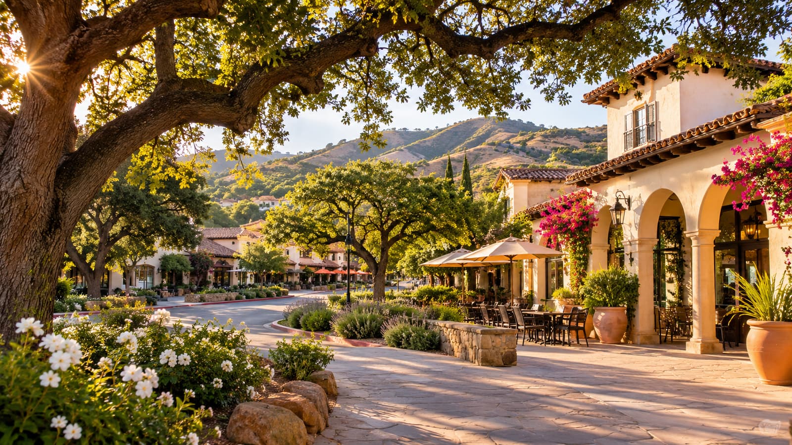
Chumash land and old oaks
The Chumash lived in the canyons and rolling hills here, where streams and springs supported plenty of wildlife. Acorns from the area's large oaks were an important part of their diet, and the City notes that some Calabasas oaks may be 500 to 700 years old. Where the name comes from is uncertain: it may come from a Chumash word, or from the Spanish word for pumpkin or wild gourd. (City of Calabasas: Calabasas History)
Archaeological sites in the city point to people living here about 6,000 to 7,000 years ago, and the City's 2009 historic context study rates most of Calabasas as highly sensitive for fossils, except where the bedrock is volcanic. (Historic Context Statement, 2009) Spanish contact came with the Portolá expedition of 1769–1770, whose diarist recorded meeting Chumash people in the area; the Anza party camped just west of Calabasas a few years later. (City of Calabasas: Calabasas History)
Rancho El Escorpión and the Leonis Adobe
Rancho El Escorpión was a Mexican land grant made in 1845 to three Native Americans, Odón, Urbano and Manuel. It covered present-day Calabasas, West Hills, Canoga Park and Woodland Hills. In the early 1870s Miguel Leonis (1822–1889), a French Basque immigrant, acquired it from the family of his wife, Espiritu Chijulla (1836–1906), who was Chumash/Tongva. Leonis went on to gather more than 18,000 acres across Southern California. (City of Calabasas: Calabasas History)
The oldest part of the Leonis Adobe dates to 1844, and little is known about its first use. In the 1870s the couple remodeled it into a two-story house and in 1878 made it their permanent home. After Miguel died in 1889, Espiritu sued his estate for a wife's share; the case took sixteen years, and she died in 1906, seven months after winning it, while still living at the adobe. (Leonis Adobe Museum)
The adobe nearly didn't survive the postwar boom. In 1960 a developer planned a shopping center on the site; in 1962 Kay Beachy bought the land, and on August 6, 1962, Los Angeles named the adobe its first Historic-Cultural Monument. (Leonis Adobe Museum) It opened as a living history museum in 1966. In 1983 the Plummer House, California Historical Landmark No. 160, was moved onto the grounds from Plummer Park in West Hollywood. (City of Calabasas; Leonis Adobe Museum) The museum is at 23537 Calabasas Road.
The stage road and Old Town
El Camino Real linked California's missions, and with a few variations its route through Calabasas is now the Ventura Freeway. In the late 19th century Ventura Road, today's Calabasas Road, was the main route between Los Angeles and Ventura counties. The Coast Line Stage Company, founded in 1862, stopped in Calabasas on its way north until it closed in 1901; the depot's exact location is unknown. The Camino Real Association placed mission bell markers along the route in 1907; the City's 2009 study found them on Calabasas Road and along the freeway. (Historic Context Statement, 2009)
When the big ranches were split into farms in the late 1800s, settler families struggled against poverty and drought. (City of Calabasas: Calabasas History) By the 1920s Ventura Road had become the town's commercial strip, with stores, garages and gas stations for travelers, some of them in converted houses. (Historic Context Statement, 2009) A few of those early buildings still line Calabasas Road, including the former Cooper store, once called Hunter's Inn, and a rebuilt replica of the Daic brothers' 1921 garage. (City of Calabasas: Calabasas History)
In 1994 the City adopted the Old Town Calabasas Master Plan and Design Guidelines to protect the area around the Leonis Adobe. (City of Calabasas: City Profile) The General Plan calls Old Town "the historical and cultural heart of the community" and applies design guidelines so that new buildings in and next to it fit its historic character. (2030 General Plan, Cultural Resources Element)
Water, the freeway and the boom
Water held Calabasas back. Wells and tanks went dry, local water was hard and corrosive, and some nearby communities bought water by the truckload. In 1958 voters formed the Las Virgenes Municipal Water District, and in 1960 they voted to join the Metropolitan Water District to import water. (Historic Context Statement, 2009)
A few subdivisions came before the water. The Topanga Canyon Road tract and the Highlands were laid out in 1924, and Park Moderne, planned as an artists' colony with model homes by R.M. Schindler and Jock Peters, in 1928. Park Moderne stalled in the Depression, and it and the Highlands stayed mostly undeveloped until the 1960s. In 1935 Warner Bros. bought 500 acres near Calabasas Creek for a movie ranch that grew to 2,800 acres; that land later became Calabasas Park. (Historic Context Statement, 2009)
Building took off in the late 1960s. (City of Calabasas: City Profile) The Ventura Freeway was upgraded to a full freeway in that decade, and developers subdivided land near the interchanges at Valley Circle/Mulholland Drive, Parkway Calabasas, Las Virgenes Road and Lost Hills Road. (2030 General Plan, Cultural Resources Element) Because so much was built at once, fewer than 200 buildings in the city date from before 1960. (City of Calabasas: City Profile)
Cityhood in 1991
In a special election on March 5, 1991, more than 90% of voters chose to create the City of Calabasas. The first City Council was sworn in on April 5, 1991, at Calabasas High School. (City of Calabasas, Apr. 3, 2026)
After cityhood the City set out to regulate development more closely. Its projects included streetscape improvements in Old Town, restoring Las Virgenes Creek along the freeway and, in 2008, building the Civic Center at The Commons. (2030 General Plan, Cultural Resources Element) On January 2, 2008, the City Council adopted a Historic Preservation Ordinance. (City of Calabasas: City Profile)
What it means for building today
- Most houses date from 1960 to 1990. About 73% of the city's housing was built before 1989, mostly in the 1960s, 1970s and 1980s. (2021–2029 Housing Element) See Calabasas homes and neighborhoods.
- Historic review is possible. The preservation ordinance set up a Historic Preservation Commission and a process to designate landmarks, districts and landscapes. (2030 General Plan) If your house is one of the few from before 1960, ask the Planning Division early whether it has been evaluated.
- Digging can turn up the past. The General Plan calls for archaeological resources to be properly treated before development on a site where they are present, and excavation in Native American deposits to be monitored by Chumash representatives. (2030 General Plan, policies XI-1, XI-2)
- The oaks predate everything. Work near a protected oak needs a City permit; see oak trees.
Go deeper. The Calabasas Library holds local history material, and the Leonis Adobe Museum and Plummer House are open to the public. (City of Calabasas: Calabasas History)
Sources
- City of Calabasas: Calabasas History
- Leonis Adobe Museum: Our History
- City of Calabasas Historic Context Statement (Christopher A. Joseph & Associates, Apr. 7, 2009)
- City of Calabasas: City Profile
- City of Calabasas 2030 General Plan (April 2023 edition)
- City of Calabasas: Mayor's newsletter on the 35th anniversary (Apr. 3, 2026)
- City of Calabasas 2021-2029 Housing Element (adopted Mar. 30, 2022)