Community
Living in Calabasas
Oak hills, Old Town and canyon living
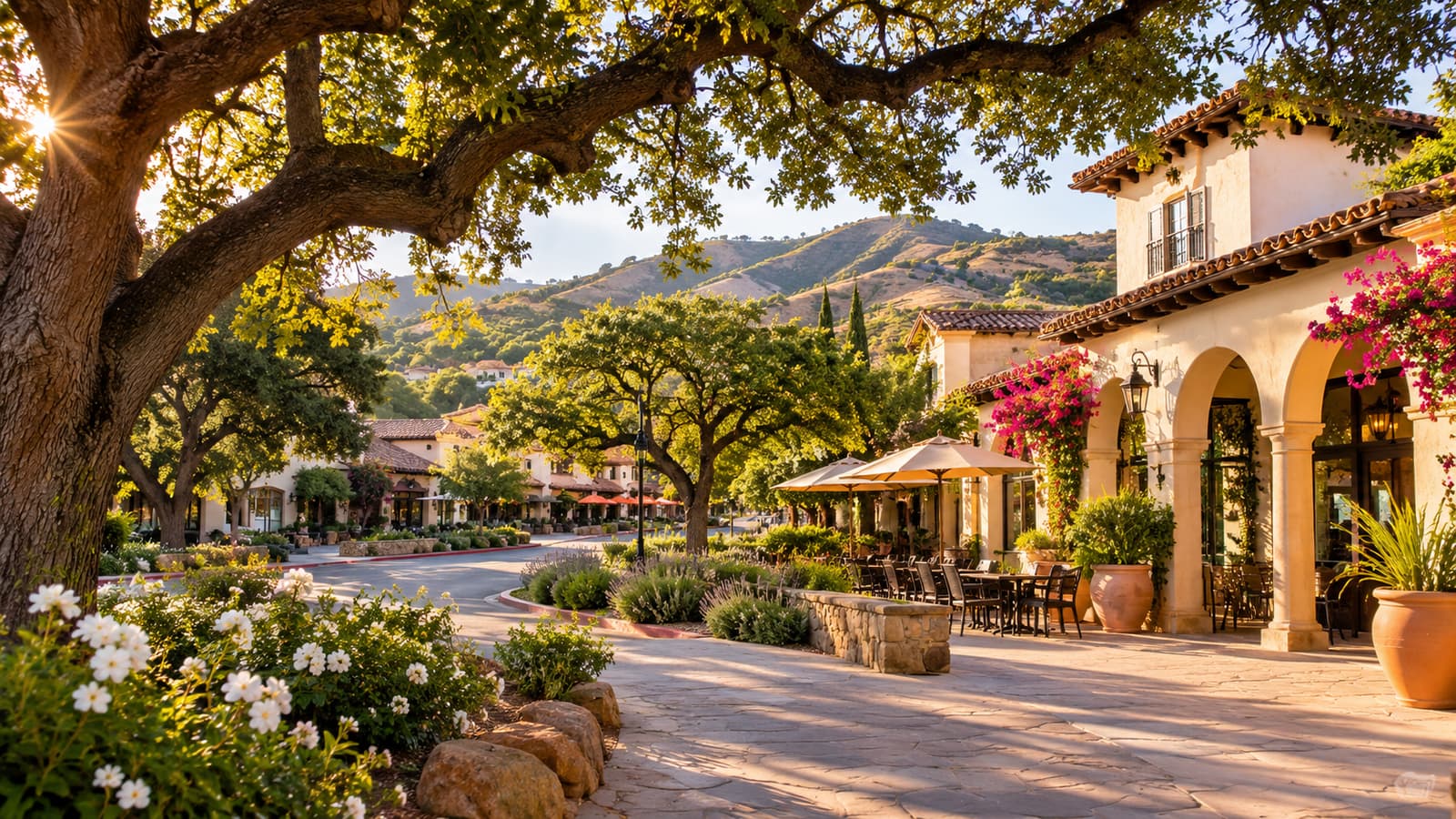
Calabasas sits between the foothills of the Santa Monica and Santa Susana mountains at the southwest edge of the San Fernando Valley, 22 miles northwest of downtown Los Angeles. It has been its own city since 1991 and covers 13.3 square miles. (City of Calabasas: City Profile) The General Plan describes a city that draws its identity from "rolling hills, oak woodlands, canyons, wildlife" and a suburban, semi-rural character. (2030 General Plan)
Its history runs from Chumash villages to Rancho El Escorpión, the Leonis Adobe and the stage road that became Calabasas Road. With no reliable water, it stayed rural until the Las Virgenes Municipal Water District formed in 1958; building took off in the late 1960s, and most of today's homes date from the 1960s through the 1980s. (City of Calabasas: City Profile; 2021–2029 Housing Element)
- 1844
- Oldest part of the Leonis Adobe
- 1958
- Water district formed, opening growth
- 1991
- Incorporated as a city on April 5
- 13.3 sq mi
- City area, per the City profile
Local guides
Know the neighborhood before you plan.
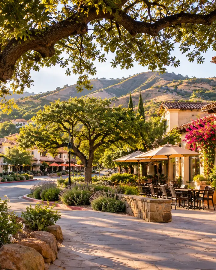 AI illustrationHistoryHow Calabasas came to look the way it doesChumash land, the Leonis Adobe, the stage road through Old Town, the 1960s boom and cityhood.
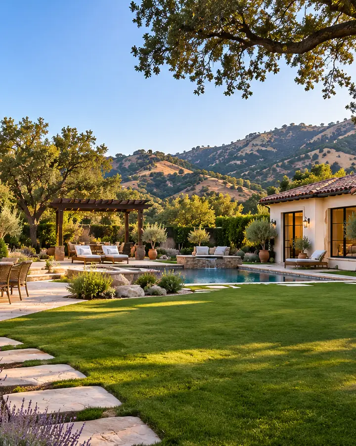 AI illustrationNeighborhoodsCalabasas homes and neighborhoodsThe housing stock, the City's neighborhood areas, HOAs, cabin lots and septic, and siting an ADU.
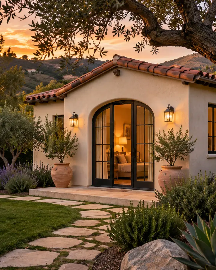 AI illustrationResourcesResources for Calabasas homeownersCity Hall, library, parks, sheriff and fire, defensible space, alerts, water and power.